Update (4 juli):
Orkaan Arthur maakt landfall! Het systeem zal (tijdelijk) aan land gaan bij Cape Lookout (North Carolina), het systeem trekt dus wat westelijker dan de modellen in eerste instantie hebben aangegeven.
De verwachting is dat het systeem via New England en Nova Scotia naar New Foundland trekt en daar transformeert tot een Atlantische depressie.

Update (3 juli):
We kunnen nu officieel spreken van Orkaan of Hurricane Arthur!
De NOAA meldt dat hun toestel dat door het systeem gevlogen is nu windsnelheden van orkaankracht heeft gemeten.
Hieronder meer informatie wat terug te vinden is op de website van de NOAA
Data from NOAA and Air Force Reserve Hurricane Hunter aircraft
indicate that Arthur has reached hurricane strength. Both aircraft
showed several SFMR winds of 60 to 63 kt southeast of the center,
and the NOAA aircraft reported a peak flight-level wind of 79 kt at
8, 000 feet. Based on these data the initial intensity is set to 65
kt. Radar data show that Arthur was still having difficulty
maintaining an eyewall overnight, likely due to dry mid/upper-level
air being entrained into the storm. However, the overall radar
presentation has improved during the past couple of hours. Some
gradual intensification is forecast during the next 24 hours while
the cyclone is in an environment of low shear and moves over warm
waters. After that time, however, the shear increases dramatically
as Arthur interacts with a deep-layer baroclinic zone moving off
of the east coast of North America, and global model fields show
Arthur completing extratropical transition by 72 hours. The NHC
intensity forecast is similar to the previous one and remains close
to the multi-model consensus IVCN through 24 hours and is a little
below the consensus after that time.
2 juli.
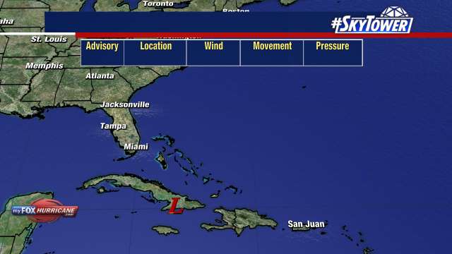
De eerste tropische storm in de Atlantische regio van dit seizoen is gevormd in de buurt van Florida.
De verwachting is dat binnen 24 of 26 uur het systeem officieel een orkaan genoemd mag worden.
De luchtdruk is gedaald naar 996 millibar en er lijkt langzaam een oog gevormd te worden.
De route lijkt langs de oostkust naar het noorden te zijn waar orkaan Arthur dan zal transformeren in een Atlantisch lagedrukgebied.